Expedition to Antarctica's glaciers
environmentclimate changeantarcticamarine researchsea level riseglaciers
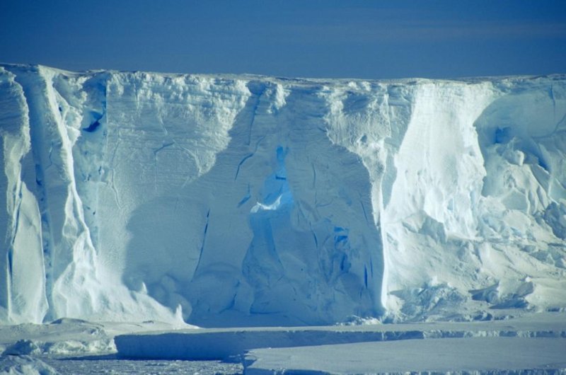
Detail of an iceberg near Pine
(c) Jan Grobys
Research will improve forecasts for global sea levels
How has alternating warm and cold time periods affected the West Antarctic Ice Sheet? What does this mean for present and future sea levels? In a bid to find the answers to these questions, fifty researchers from the Alfred Wegener Institute (AWI) are currently on their way to the Amundsen Sea, having departed from Punta Arenas (Chile) on February 6th.
Cracks in the Antarctic's Larsen Ice Shelf and Brunt Ice Shelf (where the UK's Halley Research Station is located) are under observation. The loss of ice mass is faster in the continent's Pacific sector than the Atlantic sector.
The scientists, travelling on board the research vessel Polarstern, are currently headed for the Pacific sector to investigate changes in the ice sheet and how they have contributed to sea-level changes in the past. In doing so, they hope to improve on the forecast of future changes.
The sea level has risen by 19 centimetres between 1901 and 2010. By the end of this century, the projections have indicated a rise of 26 to 82 centimetres; this amount is still contains some uncertainty though, with the latest models showing a possible rise by an additional metre.
Such predictions are essential as they serve as the foundation for adapting to and minimising climate change impact, for example, through coastal protection measures.
Although present computer models can work out the relationship between ice and the ocean, there is currently no such data for the West Antarctic Ice Sheet.
" That’s exactly why we want to explore how the ice sheet has advanced and retreated in the past, including the spatial and chronological variability and the rate, " said AWI's Dr Karsten Gohl, the expedition's chief scientist.
" Particularly in the Amundsen Sea region, we’ve observed an unusually rapid retreat over the past few decades, which many believe to be the first step in a complete collapse of the West Antarctic Ice Sheet, " he added.
Located in the Pacific sector of the Antarctic, the Amundsen Sea is situated where two big glaciers (Pine Island Glacier and Thwaites Glacier) discharge into the ocean, transporting a huge mass of ice from the West Antarctic Ice Sheet.
For the West Antarctic Ice Sheet, a large portion of its base is on the continent below sea level. Today, as the comparatively warm seawater circulates over the continental shelf of the Amundsen Sea, tangible reactions are produced in both the grounding zone of the continental ice and the floating ice shelf. As the ocean gets warmer, the ice shelf starts to melt from below and the grounding zone moves farther inland. This causes the glaciers to retreat, resulting in a situation in which where there was once an ice sheet hundreds of metres thick, there is now only open water covered by a thin sheet of seasonal sea-ice.
For geoscientists, such changes in ice sheet movement allow them to use sediment cores from the ice-free continental shelf to find out when in Earth's history and to what extent the Amundsen Sea was covered with ice or was ice-free. They do this by examining the remains of single-celled algae (foraminifera and diatoms) which sink to the seafloor as sediment upon death.
For the first time, the seafloor drill rig MARUM-MeBo70 from University of Bremen’s Center for Marine Environmental Sciences (MARUM) will be used in the Antarctic. It can drill sediment cores of up to 70 metres long. Subsequent analysis of the cores, such as the determination of the species and ages of the fossil algae, is expected to yield information about past water temperatures and the history of ice cover in the Amundsen Sea.
"We plan to collect samples from epochs of the Earth’s history with similar climatic conditions to those we expect to see in the next 100 to 200 years," said Dr Gohl. As such, one of the drill targets is the last interglacial before the current one, which was about 125,000 years ago.
The Pliocene is also of interest to the research team. Three to five million years ago, the temperature was two to three degrees higher than it was just before the Industrial Revolution, and the carbon dioxide concentration in the atmosphere (at 400 parts per million) was roughly similar to what it is today.
For more information see here
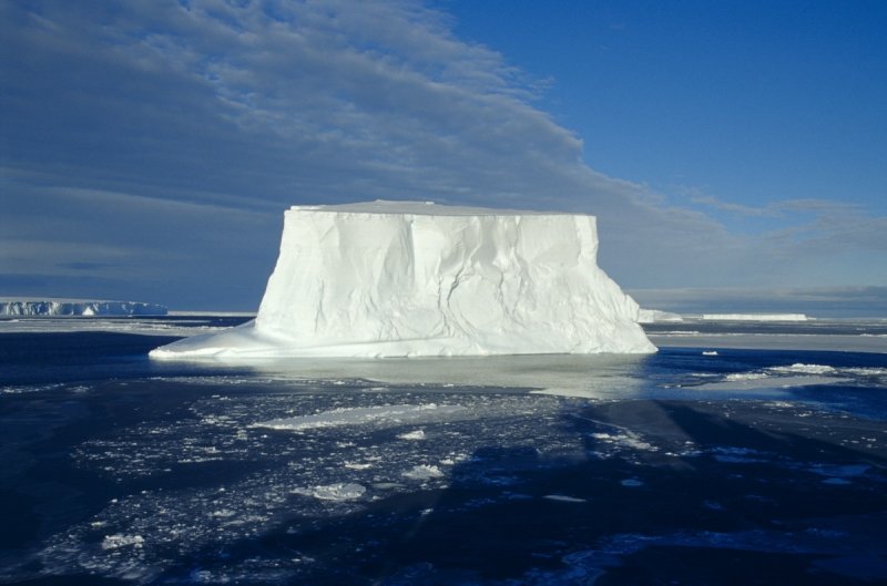
Table iceberg near Pine Island
(c) Jan Grobys
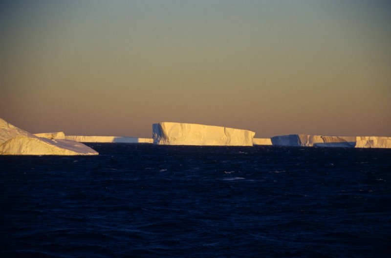
Table iceberg and shelf ice near Pine Island
(c) Jan Grobys
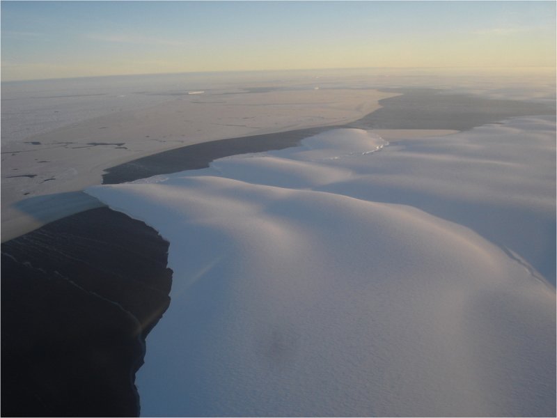
Aerial picture of Pine Island Bay
(c) Karsten Gohl
Este artigo foi traduzido automaticamente e pode conter pequenas imprecisões; em caso de dúvida, consulte a versão original em Inglês.