Pete Tide II (Wreck)
- 358
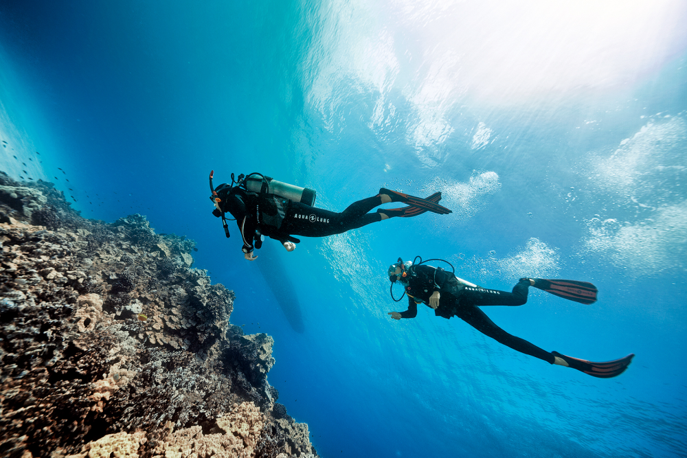
Depth: 60-100ft GPS Location: Latitude 30 08.760′ N Longitude 87 14.020′W. The Pete Tide II is a 180′ former oil field supply boat that was sunk as an artificial reef in 1993.
The pilot house at the top of the structure sits at about 60′ with a max depth of around 100′. This fully intact wreck always has a plethora of marine life surrounding it.
21
Wildlife Species
1
SSI Training Centers
29m / 95ft
Max. Depth
advanced
Level
This data is provided from the logbook information in the MySSI app
Affiliated Training Center
Dive sites nearby

San Pablo Russian Freighter (Wreck)

Avocet Dredge (Wreck)

Ocean Wind Tug (Wreck)
YDT-15 (Navy Dive Tender Wreck)
Chevron Oil Rig
Tex Edwards Barge (Wreck)

Joe Patti Memorial Reef (Wreck)

USS Massachussets
USS Oriskany Wreck, Pensacola, Florida
Three Coal Barges
The dive spots and related content on MyDiveGuide are provided for informational and promotional purposes only. This information, including user-generated content, is not definitive advice or recommendations. Divers are fully responsible for planning their dives, ensuring adequate safety equipment, verifying diving permissions, and complying with local laws and regulations. SSI, MyDiveGuide, and affiliates assume no responsibility or liability for divers' actions, choices, or any incidents. Always dive within your training limits, prioritize safety, and confirm that diving is permitted at your chosen location.