This data is provided from the logbook information in the MySSI app
Affiliated Training Center
Dive sites nearby
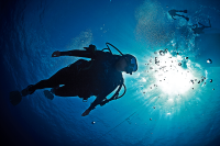
© Scubapro, Stephen Frink
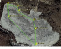
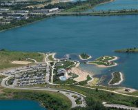
Devils Lake North Shore
Learn more
© Scubapro, Stephen Frink
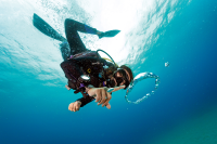
Devil's Lake South Shore
Learn more
© Scubapro, Stephen Frink
Lake Mendota - Shorewood
Learn more
© Diventures, 52317 North Liberty
Turkey Ridge Quarry
Learn more
© Diventures, 52317 North Liberty
Big Blue
Learn more
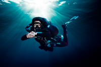
© Mares
Pearl Lake
Learn more
© Mares
Prins Willem V
Learn more
© Sea Level Diving, 60014 Crystal Lake
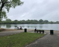
Three Oaks Recreation Area
Learn more
© Mares
The Madeira (Wreck)
Learn more
© Aqualung
Seagull Cove
Learn more
The dive spots and related content on MyDiveGuide are provided for informational and promotional purposes only. This information, including user-generated content, is not definitive advice or recommendations. Divers are fully responsible for planning their dives, ensuring adequate safety equipment, verifying diving permissions, and complying with local laws and regulations. SSI, MyDiveGuide, and affiliates assume no responsibility or liability for divers' actions, choices, or any incidents. Always dive within your training limits, prioritize safety, and confirm that diving is permitted at your chosen location.