Current figures on sea level rise
environmentmarine conservationclimate changesea level riseantarctic ice sheet
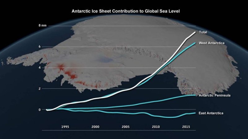
Contribution of the Antarctic ice sheet to sea level rise
(c) IMBIE / Planetary Visions
Scientists present study on the mass balance of the Antarctic ice sheet
Before 2012, the Antarctic ice sheet continuously lost 76 billion tons of ice per year, which is more than all water in Lake Constance - and caused the global sea level to rise by 0.2 millimetres per year. Between 2012 and 2017, the continent lost 219 billion tons of ice, tripling the contribution to sea-level rise to 0.6 millimetres per year. Thus, the Antarctic accounts for about a third of the current acceleration in sea level rise. The loss of ice over the last five years is due to an accelerated outflow of glaciers in the West Antarctic and on the Antarctic Peninsula, as well as less snowfall in the eastern Antarctic. The balance in the West Antarctic changed the most: The region lost 53 billion tons in the 1990s, the annual decrease in the years since 2012 increased to 159 billion tons. At the northern tip of the continent, the collapse of a large ice shelf on the Antarctic Peninsula since the early 2000s has led to an increase in ice loss of 25 billion tonnes per year. The ice sheet in the eastern Antarctic is currently growing slightly higher due to increased snow cover. However, the annual growth of five billion tons in the last 25 years cannot offset the mass loss in the West Antarctic. Lead authors of the report are Prof. Andrew Shepherd (University of Leeds, United Kingdom) and dr. Erik Ivins (NASA's Jet Propulsion Laboratory, California, USA), with support from the European Space Agency (ESA) and NASA. "According to our analysis, the mass loss in the Antarctic has accelerated in the last decade. The continent is currently contributing to a higher sea level rise than ever before in the last 25 years. It must be a concern to the governments we trust to protect our coastal cities and communities," says Andrew Shepherd. The comparative study accounts for the mass losses with unprecedented accuracy. From the Alfred Wegener Institute, Helmholtz Center for Polar and Marine Research (AWI), climate scientist Dr. Ing. Ingo Sasgen and the glaciologist Dr. Veit Helm involved. "We have contributed to the land elevation and ice height change in the Antarctic," says Ingo Sasgen. One of three methods underlying the Nature publication is ice mass balance based on gravitational attraction (satellite gravimetric). "The uplift arises from the decline in ice since the last ice age. The lower weight of the ice sheet leads to a delayed landing and mass change in the Earth's interior, which we have to calculate out," explains Ingo Sasgen his contribution, which is based for example on data from the GRACE satellites. Another method that was used in the comparative study is the direct measurement of altitude changes with the help of radar waves, the satellite altimetry. These data were evaluated by, among others, Veit Helm. They date back to the early nineties and form a complete time series, which is currently being continued by the ESA satellite CryoSat-2. "With the publication and other underlying Technical Reports, the Intercomparison Group is making an important contribution to monitoring sea-level rise and to forecasting which scenarios we need to prepare for in the future," says the AWI climate researcher. Link to the study: www.nature.com/articles/s41586-018-0179-y.
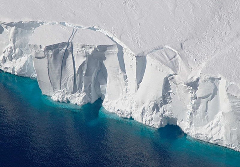
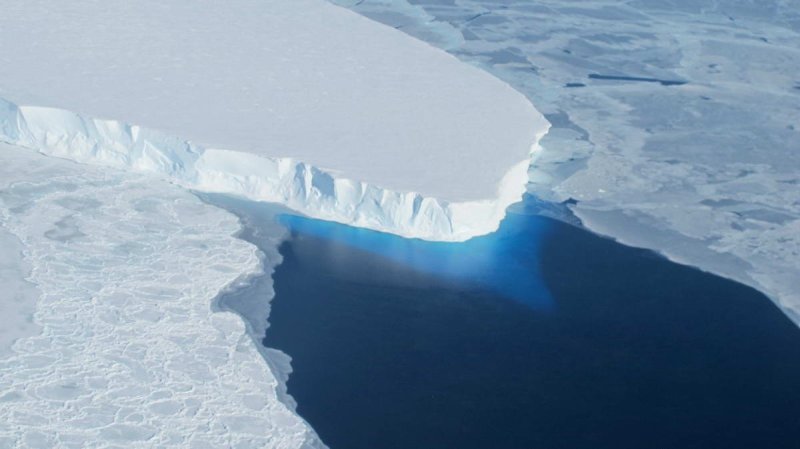
Antarctic ice-cliff
(c) NASA
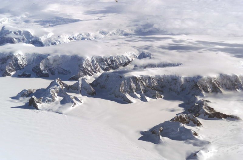
Larsen Ice Shelf, Antactica
(c) NASA
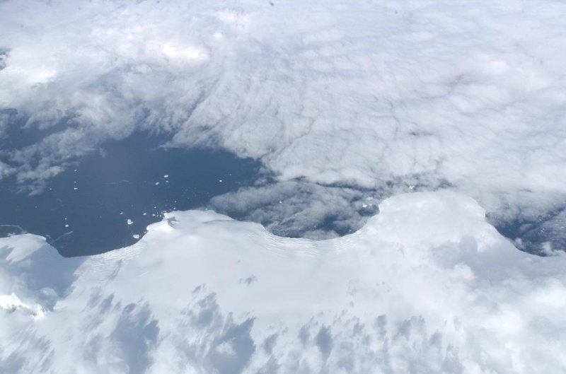
Larsen Ice Shelf, Antactica
(c) NASA
Antarctic ice-cliff
(c) NASA
Bài viết này được dịch tự động và có thể chứa một số lỗi nhỏ; vui lòng tham khảo bản gốc tiếng Anh nếu có thắc mắc.