Evidence for subglacial lakes
environmentclimate changeantarcticsubglacial lakesmarine geology
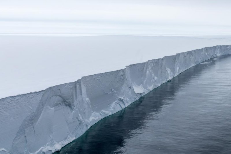
Pine Island Glacier
(c) Thomas Ronge
Glacial retreat accelerated due to Meltwater lakes under the Antarctic Ice Sheet The ice in the Antarctic was far thicker and extended further offshore during the last glacial period than it does today. Scientists have speculated that subglacial lakes existed beneath the ice. An international team of researchers has now successfully sampled the metre-thick sediment layers left behind by these lakes contemporary on the seafloor. This is the outcome of a study by Gerhard Kuhn and colleagues, which was published recently in the journal Nature Communications.
Hundreds of subglacial lakes currently exist beneath the Antarctic Ice Sheet, with Lake Vostok being the largest and best known. Exploring these lake systems, which have remained enclosed for thousands of years, involve many challenges. Scientists, for instance, must adhere to strict environmental restrictions so as to avoid polluting the lakes with anything from the surface. Russian researchers have only collected samples by drilling carefully into the surface ice of Lake Vostok and only testing the water that poured out of the borehole before promptly refreezing.
Now a team of researchers led by marine geologist Dr Gerhard Kuhn from the Alfred Wegener Institute, Helmholtz Centre for Polar and Marine Research (AWI) have provided unequivocal evidence, in the form of pore water analyses, for the presence of a former subglacial lake on the Antarctic continental shelf. During expeditions to the Amundsen Sea with the Research Icebreaker Polarstern in 2006 and 2010, AWI researchers and their international colleagues collected sediment cores that they now confirm are from subglacial lakes. The cores, which are up to ten metres long, were collected at a water depth of 750 metres. The lake sediments are currently buried under a four-metre thick layer of marine sediment on the seafloor ," Kuhn reports. They were retrieved from valleys on the ocean floor that were situated under the Antarctic Ice Sheet in the Earth’s distant past. We have now verified that, during the last glacial period, there were also subglacial lakes under a massively thick ice sheet in Pine Island Bay in the southern Amundsen Sea. The ice there has now dramatically retreated, which allowed us to sample palaeo-lake sediments from aboard Polarstern, " says Dr Kuhn. The chloride content in the pore water as an indicator of its salinity was measured. In the lower parts of some sediment cores, it was extremely low: a clear sign of freshwater, which originates from lakes under the ice. The unique sediments the team collected now provide an archive of changing environmental conditions in the Antarctic and cover a timespan from the present to the Last Glacial Maximum (more than 20,000 years ago), when the global sea level was roughly 130 metres lower than today.
These lake sediments contain components that are virtually impossible to date, which narrows scientists’ ability to estimate their age. We do know, however, that roughly 11,000 years ago Pine Island Glacier retreated and thinned, causing the moving ice to float on the ocean as an ice shelf. As a result, the lakes that were previously covered by glaciers disappeared into the ocean, when it flooded the Antarctic continental shelf. Only the imprint of the lakes in the form of deep basins and sediments remained preserved, which we have now investigated, " says Dr Claus-Dieter Hillenbrand from the British Antarctic Survey.
Satellite-monitoring shows that the movement of water from one lake to another can cause glaciers draining the Antarctic Ice Sheet to move more quickly. This aspect needs to be taken into account in models designed to make predictions on the future behaviour and dynamics of ice masses, and with them, the degree to which the sea level will rise, " explains AWI marine geologist Kuhn. According to a second study, which Kuhn contributed to and was published in Nature Communications on 17 March 2017, he added: " We have every reason to believe that there are more subglacial lakes in the Antarctic – and more so in the last glacial period – than has been previously assumed. In addition, icecaps like those on the sub-Antarctic island South Georgia and ice sheets reacted much more sensitively and rapidly to climate changes than previously assumed. "
These studies were made possible by a close collaboration between the Alfred Wegener Institute and fellow researchers from the British Antarctic Survey (BAS), the University of Utrecht, the Lamont-Doherty Earth Observatory of Columbia University (USA), and the Universities of Bremen and Leipzig.
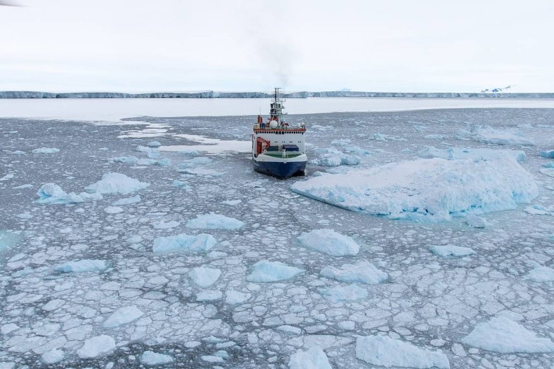
Polarstern at Pine Island Glacier
(c) Thomas Ronge
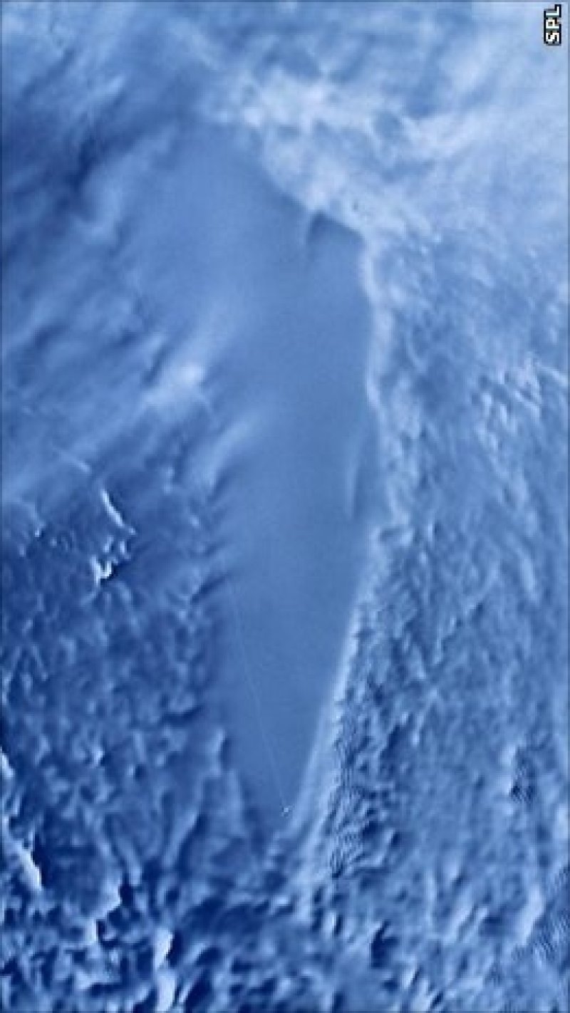
RADARSAT image of Lake Vostok, Antarctica. The ice above the lake has a smooth surface (c) NASA
von NASA
이 기사는 자동 번역되었으며 약간의 오류가 포함될 수 있습니다. 의심스러운 점이 있으면 원문 영어 버전을 참조하십시오.