Southern Italy: Active tectonic plates puts region at risk
environmentmediterraneantectonic platesearthquakesnatural disasters
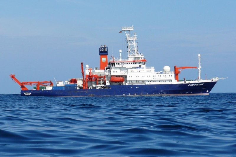
Research vessel METEOR. Photo: © Hermann Bange, GEOMAR
International research team publishes latest seafloor maps
Tectonically, the Mediterranean is very active and faces the threat of natural disasters, as demonstrated by the recent earthquakes in Central Italy.
Over the last few years, an international scientific team, with the collaboration of GEOMAR Helmholtz Center for Ocean Research Kiel, has extensively examined the seabed south of Sicily and Calabria.
Since the early civilisations, the lives of the people in Europe, the Near East and North Africa have been closely linked to the Mediterranean, with natural catastrophes like volcanic eruptions, earthquakes and tsunamis repeatedly shattering neighbouring cultures and states. This is due to the fact that the Eurasian and African tectonic plates meet in the Mediterranean.
" Unfortunately, the situation is very complicated, there are many different zones in the sub-region, " explained GEOMAR geophysicist Prof Dr Heidrun Kopp in German, adding that this made the risk analysis for certain regions very difficult.
For the research (which involved extensive seabed surveys off the coast of Sicily and Calabria), he worked with colleagues from France, Italy and Spain, as well as from the University of Kiel and University of Bremen. Their findings are now published in the current edition of the international scientific journal, Earth and Planetary Science Letters.
The research uncovered evidence of an active plate boundary in the region. "Historical natural disasters
testify to activity in this area, but so far, its causes have not been well known. Now, we are starting to understand them better," said Prof Kopp.
The findings were based on six expeditions conducted since 2010 (including three with the German research ship METEOR. During these exits, the teams used the latest technologies to map the seabed. In addition, they also used seismic methods to investigate the interior of the seabed and gather information about its composition, to as deep as 30 kilometres.
" We are already aware of the sedimentary layers in the region, which are typical when one tectonic plate slides under another. However, to date, it has been questionable whether these are old structures or whether such subduction zones are still active, " Kopp explained.
New investigations show that the plates are still moving, albeit slowly. Thus, stresses may still be building up in the earth's interior.
The region which the scientists are investigating is of great interest because it has been repeatedly hit by devastating earthquakes and tsunamis in the past. For instance, in 1908, an earthquake in the Messina sea range caused a subsequent tsunami; 72,000 lives were lost.
" Of course, even with the new findings, we cannot predict if and when a severe earthquake would strike. However, the more we know about the seabed and its structure, the better we can predict where natural hazards would take place. Hence, the risks and devastation can be mitigated with better disaster prevention measures and regulations, " said Kopp.
A link to the study
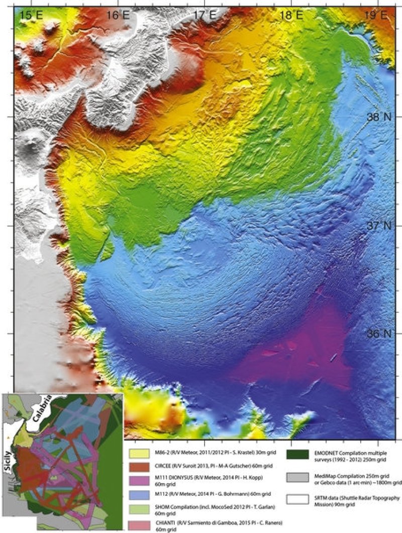
Topography of the seabed off the eastern coast of Sicily from data from various expeditions. Graphic: © Marc-André Gutscher, U. Brest
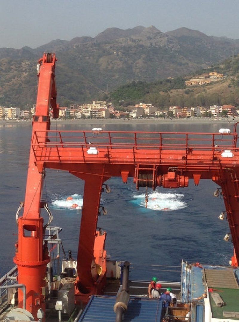
Seismic investigations off the coast of Sicily Photo: © Heidrun Kopp, GEOMAR
Ez a cikk automatikusan lett lefordítva, és apróbb pontatlanságokat tartalmazhat; kétség esetén kérjük, tekintsd meg az eredeti angol változatot.